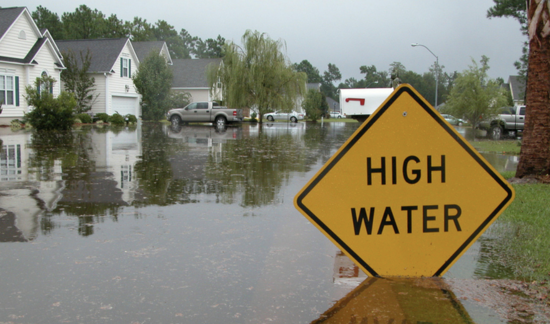
By D.S. Murphy SRA, CEO D.S. Murphy
All the forms we use ask the same question in the site section – is the subject property located within a flood hazard zone? It is not asking are the improvements in danger of flooding.
It’s a yes or no question.
Here is a good article explaining the different flood zone codes.
What an appraiser needs to do if they find themselves in a flood hazard zone is immediately contact the lender and request the Flood Certificate. Every loan must have one and they can pull it in a few seconds if they have not done so already. This is a certificate from FEMA which specifically looks at the subject property. This is the document which will determine if the improvements are in danger of flooding. They generally come back saying the improvements are not in danger of flooding. You then can update the site section accordingly and include a copy of the certificate in your report. If it comes back that they are in danger of flooding or there are reasons to believe the information is dated or not correct – the ultimate determination can be made by having a new survey done which includes an Elevation Study. This will identify the location and elevation of the prior floods and plot that against the elevation of the improvements. With this information the owner can petition FEMA for a determination letter (LOMA) Letter of map amendment.
There are options available to the owner if the improvements are still in danger. I saw one house near a river where they dug a trench 10-15 feet deep and 75 feet long and installed a concrete wall – this apparently was suitable to obtain a LOMA.
Another thing to keep in mind is that flood zone maps are flat in presentation – meaning that there is a boundary to where the highest flood was. But improvements must be X feet above the flood plain. If the lot is nearly level you could still be in danger 50’ away from the flood hazard line. Also, it is possible that a property’s improvements are not in danger of flooding even if they should to be completely within the boundary lines. Many homes on rivers, lakes, etc are elevated on stilts. We see this all the time along the Chattahoochee and along the Gulf of Mexico in Destin.
Flood maps become dated very quickly.
Look at this property. The house is about 18 years old. We know that they could not have built the house if it were located in a flood zone – so what happened? Flood zones change!

Another critically important reason why people need a pre-listing consultation appraisal. It is best to get a survey with an elevation study and then get back with me. It was not clear why it was now flood zone. But until we see the survey we really don’t know for sure.
Flood zones also impact the ability to develop a property. There may be local requirements to be set back X feet from flood zone, if it is a stream, creek or river – you get into city setbacks, county setbacks, state and federal setbacks.
Buyers are typically averse to buying a property if there is significant potential for flooding. We must take all this into consideration in our valuation and attempts to get comparable with similar influences.

